Our mission is to help computational modelers develop, document, and share their computational models in accordance with community standards and good open science and software engineering practices. Model authors can publish their model source code in the Computational Model Library with narrative documentation as well as metadata that supports open science and emerging norms that facilitate software citation, computational reproducibility / frictionless reuse, and interoperability. Model authors can also request private peer review of their computational models. Models that pass peer review receive a DOI once published.
All users of models published in the library must cite model authors when they use and benefit from their code.
Please check out our model publishing tutorial and feel free to contact us if you have any questions or concerns about publishing your model(s) in the Computational Model Library.
Displaying 10 of 42 results city clear search
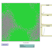
MEGADAPT - Socio-hydrological risk model - Theoretical (no data) implementation
Marco Janssen Andres Baeza-Castro Luis Bojorquez Hallie Eakin | Published Wednesday, February 06, 2019The model simulates the decisions of residents and a water authority to respond to socio-hydrological hazards. Residents from neighborhoods are located in a landscape with topographic complexity and two problems: water scarcity in the peripheral neighborhoods at high altitude and high risk of flooding in the lowlands, at the core of the city. The role of the water authority is to decide where investments in infrastructure should be allocated to reduce the risk to water scarcity and flooding events in the city, and these decisions are made via a multi-objective site selection procedure. This procedure accounts for the interdependencies and feedback between the urban landscape and a policy scenario that defines the importance, or priorities, that the authority places on four criteria.
Neighborhoods respond to the water authority decisions by protesting against the lack of investment and the level of exposure to water scarcity and flooding. Protests thus simulate a form of feedback between local-level outcomes (flooding and water scarcity) and higher-level decision-making. Neighborhoods at high altitude are more likely to be exposed to water scarcity and lack infrastructure, whereas neighborhoods in the lowlands tend to suffer from recurrent flooding. The frequency of flooding is also a function of spatially uniform rainfall events. Likewise, neighborhoods at the periphery of the urban landscape lack infrastructure and suffer from chronic risk of water scarcity.
The model simulates the coupling between the decision-making processes of institutional actors, socio-political processes and infrastructure-related hazards. In the documentation, we describe details of the implementation in NetLogo, the description of the procedures, scheduling, and the initial conditions of the landscape and the neighborhoods.
This work was supported by the National Science Foundation under Grant No. 1414052, CNH: The Dynamics of Multi-Scalar Adaptation in Megacities (PI Hallie Eakin).
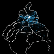
Socio-hydrologicalModel_version_SESMO
Marco Janssen Andres Baeza-Castro Paola Gomez Luis Bojorquez Fidel Serrano-Candela Hallie Eakin Yosune Miquelajauregui Rodrigo Garcia-Herrera | Published Tuesday, February 05, 2019We present here MEGADAPT_SESMO model. A hybrid, dynamic, spatially explicit, integrated model to simulate the vulnerability of urban coupled socio-ecological systems – in our case, the vulnerability of Mexico City to socio-hydrological risk.
TransportVarese
Elena Vallino Elena Maggi | Published Tuesday, January 31, 2017 | Last modified Friday, August 04, 2017This ABM deals with commuting choices in the Italian city of Varese. Empirical data inform agents’ attitudes and modal choices costs and emissions. We evaluate ex ante the impact of policies for less polluting commuting choices.
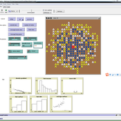
Urban Sprawl and Income segregation with effect from income level and inequality
Nina Schwarz Cheng Guo Carsten M Buchmann | Published Tuesday, November 01, 2016 | Last modified Friday, May 26, 2017This is a stylized model based on Alonso’s model investigating the relationship between urban sprawl and income segregation.
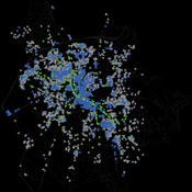
Salzburg Bicycle model
Gudrun Wallentin | Published Saturday, October 29, 2016An ABM to simulate the spatio-temporal distribution of cyclists across the road network of the city of Salzburg.
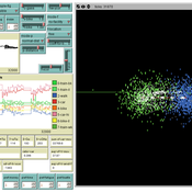
Urban-Dynamics-2017
Hideyuki Nagai Setsuya Kurahashi | Published Thursday, October 06, 2016 | Last modified Thursday, October 06, 2016This model is designed for the paper of “Bustle Changes the City - Facility for Stopping off and Modeling Urban Dynamics -“. And all experimental results in the paper were implemented in this model.
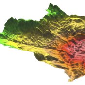
MedLanD Modeling Laboratory
C Michael Barton Sean Bergin Isaac Ullah Gary Mayer Hessam Sarjoughian Helena Mitasova | Published Friday, May 08, 2015 | Last modified Thursday, December 14, 2017The MML is a hybrid modeling environment that couples an agent-based model of small-holder agropastoral households and a cellular landscape evolution model that simulates changes in erosion/deposition, soils, and vegetation.
Informal City version 1.0
Nina Schwarz | Published Friday, July 25, 2014 | Last modified Thursday, July 30, 2015InformalCity, a spatially explicit agent-based model, simulates an artificial city and allows for testing configurations of urban upgrading schemes in informal settlements.
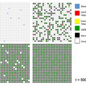
Exploring Transitions towards Sustainable Construction
Jesus Rosales-Carreon César García-Díaz | Published Wednesday, October 30, 2013 | Last modified Saturday, January 31, 2015This model illustrates actor interaction in the construction sector, according to information gathered in NL. It offers a simple frame to represent diverse interests, interdependencies and effects on the number of built sustainable houses.
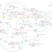
Endogenous Dynamics of Housing Market Cycles
Onur Özgün Birnur Özbaş Yaman Barlas | Published Monday, September 09, 2013 | Last modified Wednesday, January 08, 2014The purpose of this model is to analyze the dynamics of endogenously created oscillations in housing prices using a system dynamics simulation model, built from the perspective of construction companies.
Displaying 10 of 42 results city clear search